
Soyosan is one of the simpler autumn mountain trips to reach by Seoul subway. Soyosan Station is on Line 1 near the trailhead; the line now continues north to Yeoncheon. Choose the valley walk toward Jajaeam for a shorter day, or follow the official ridge loop only if you are prepared for a longer, steeper mountain route.
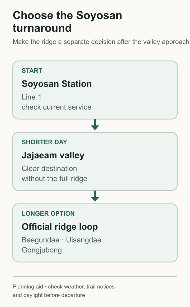
Decide at the valley before committing to the ridge
The useful split comes after the valley approach. Jajaeam gives you a clear destination without committing to the whole ridge. The official loop continues over Baegundae, Uisangdae and Gongjubong and should be treated as a separate, longer decision. Dongducheon describes Soyosan as a major foliage mountain, but colour and trail conditions move with the weather, so check current city notices before fixing the date.
Essential Information at a Glance
| Item | Details |
|---|---|
| Location | 406-65, Pyeonghwa-ro 2910beon-gil, Dongducheon-si, Gyeonggi Province (Soyosan National Tourist Site) |
| Access | Line 1 to Soyosan Station; follow current station and tourist-area signs |
| Mountain | 587 m; the city describes routes taking roughly 1–4 hours depending on course |
| Route split | Left after Wonhyo Waterfall for Jajaeam; right for Gongjubong |
| Current fees | Check the Dongducheon tourism notice or visitor centre before travel; this guide does not rely on old review prices |
| Inquiries | Soyosan tourist information / trail inquiry: 031-860-2471–2 |
Fees and operating information may change, so check Dongducheon City’s tourism pages before travel.
Choose Jajaeam or a longer ridge course
Shorter option: turn around at or before Jajaeam
From the tourist area, follow the valley past Iljumun and Wonhyo Waterfall. At the fork after Sokrigyo Bridge, turn left for Jajaeam. The official route description includes a 108-step wooden stair and continues past Wonhyodae and Baegunam before reaching Jajaeam, so this is a mountain walk with stairs rather than a flat promenade. Turn around at a point that matches your group and daylight.
Longer ridge option: continue beyond Jajaeam only with the current map
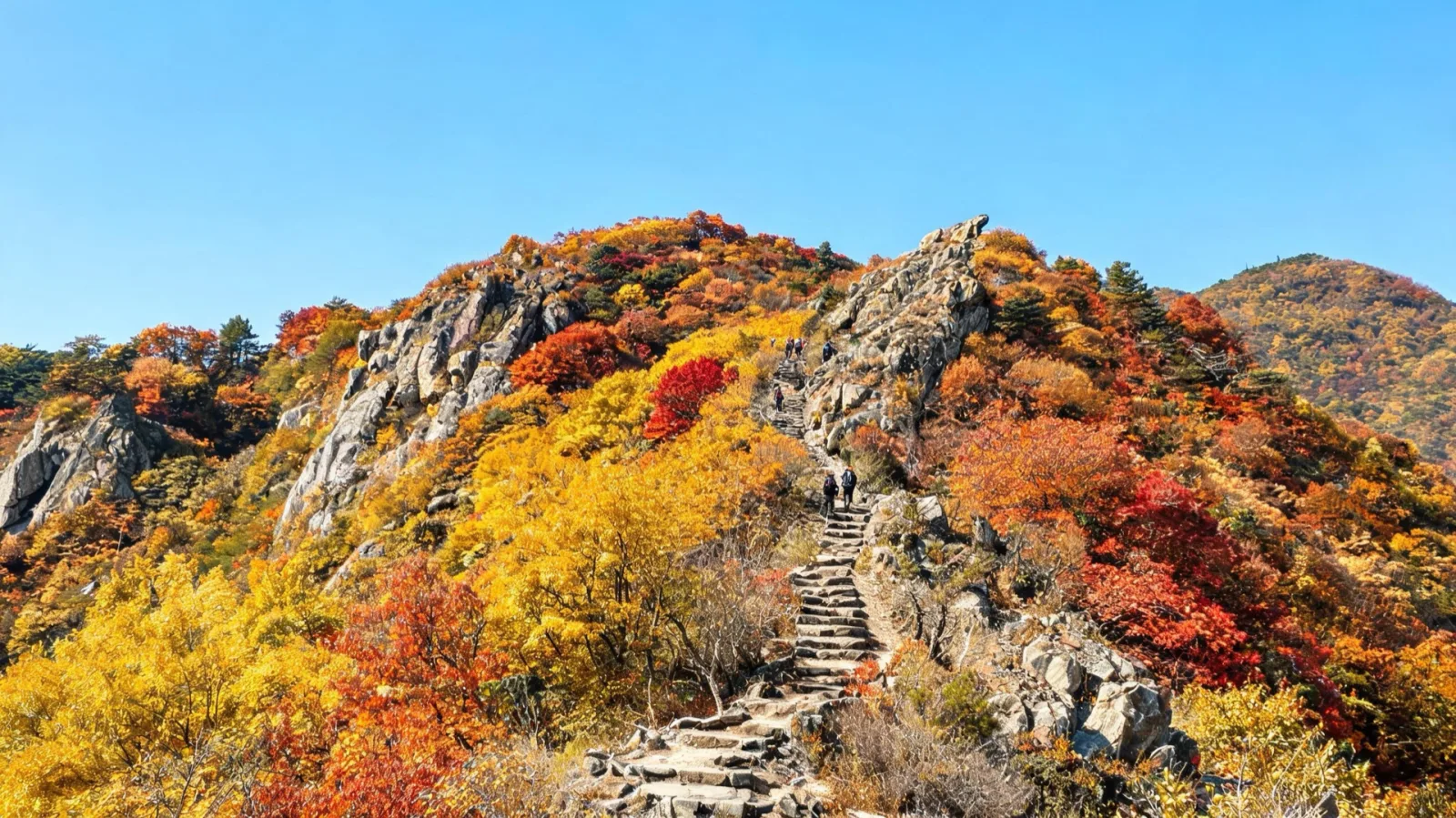
Dongducheon’s course information includes routes that continue beyond Jajaeam toward the Soyosan summits. The current official page does not present the Jajaeam–Baegundae–Uisangdae–Gongjubong sequence as one 8.19 km loop, so do not carry that old figure into the day. Choose a signed course from the current map at the visitor area. The ridge has sustained stairs and mountain terrain, so carry proper footwear, water and enough daylight. The shorter Jajaeam turnaround above is editorial advice, not an official timed family course.
What completed hikes add
Completed accounts do not replace the official map, but they make the route split easier to understand. A 2025 winter account approached from Soyosan Station and turned the day into a snow hike, a reminder that the same stairs can become a different proposition outside dry autumn weather. One completed ridge account describes a sustained climb beyond the valley, while another completed visit focused on Wonhyo Falls and Jajaeam. Taken together, they support a conservative rule: reaching Jajaeam does not oblige you to continue to the summits.
Getting there and setting a turnaround
Public Transport (Recommended)
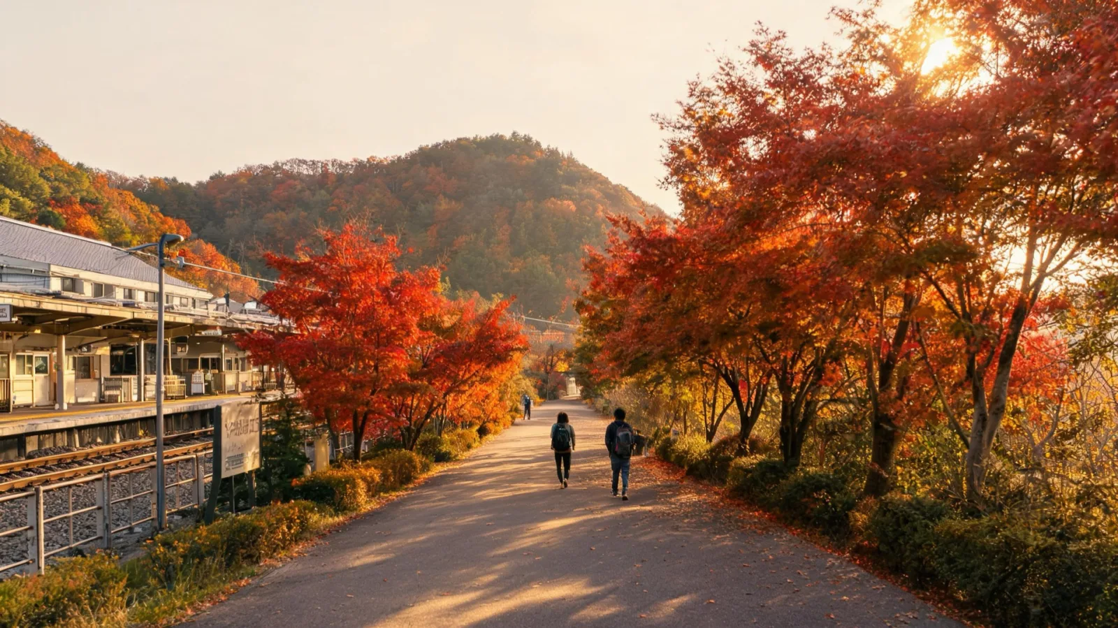
- Take Subway Line 1 to Soyosan Station, then follow the current signs toward the tourist area.
- Line 1 now continues north to Yeoncheon. Service patterns vary, so check the current route and timetable from your own departure station rather than relying on a fixed Seoul journey time.
- Keep enough time for the return service and the walk back to the station.
By Car
- Driving time and parking congestion vary. On a peak-foliage weekend, arrive early and confirm the current parking charge before travel.
Practical route checks
- Save the official course map before leaving reliable mobile coverage.
- Check current entrance, parking and trail notices on the city tourism page or at the visitor centre.
- Use Jajaeam as the shorter objective and reassess there; do not add the ridge merely because there is time on an old itinerary.
- Turn back earlier if wet steps, ice, fading light or the group’s pace makes the return uncertain.
Tips and Precautions
- Use the correct place name: the hermitage on the Soyosan route is Jajaeam (자재암). Donghwasa is a different temple in Daegu and does not belong in this itinerary.
- Don’t state the foliage timing as certain: check the current forest foliage forecast and Dongducheon event notices before setting out.
- Carry suitable footwear, water and an extra layer, and take your trash home. Observe any current trail closures.
Frequently Asked Questions (FAQ)
Q1. When is Soyosan’s foliage peak? Use the current forest foliage forecast and Dongducheon notices. Weather can move the best colour earlier or later.
Q2. Can I really get there by subway? Yes. Soyosan Station is on Line 1 near the tourist area. Check the current Korail timetable for your departure station and allow extra time because Line 1 service patterns vary.
Q3. Is Donghwasa part of this route? No. The temple site on this Soyosan route is Jajaeam. Check current tourist-area and parking charges through Dongducheon City before visiting.
Q4. What course is good for going with children? For a shorter outing, turn around at or before Jajaeam. The approach includes a 108-step wooden stair and is not a flat promenade, so choose the turnaround point for the group’s mobility and remaining daylight.
Q5. I have almost no hiking experience. Can I make it to Baegundae? The ridge section has a continuous series of steep stairs, which can be a burden for beginners. We recommend enjoying the round trip to Jajaeam this time and taking on the full ridge traverse on your next visit.
Final Checklist
- Check the current foliage and trail notices
- Save the Line 1 route to Soyosan Station and the return timetable
- Carry a transit card and any payment method the current visitor facilities require
- Pack footwear, water and an extra layer for the chosen course
- Search for “Soyosan Jajaeam” or “소요산 자재암” and check the latest notices
- Set a daylight-based turnaround before starting the ridge
The useful choice is simple: Jajaeam for the shorter valley route, or the ridge for a real hike. Keep the official map open and leave enough daylight for the return.
Sources & verification
A source-based guide. Check the linked operator information again before you travel.
- Dongducheon City Culture & Tourism — About SoyosanSources checked:
- Dongducheon City Culture & Tourism — Soyosan Hiking TrailsSources checked:
- Dongducheon City Culture & Tourism (official portal)Sources checked:
- Gyeonggi Province — Line 1 extension to YeoncheonSources checked:
- Aju Press — completed winter Soyosan hikeSources checked:
- Frederation — completed Soyosan ridge hikeSources checked:
- Derek Versus Lonely Planet — completed Jajaeam hikeSources checked:
Images are examples to aid understanding.
Help us keep this note useful
A quick response helps us decide what to clarify or recheck. No account or email is needed.